Route Description
Start Point: Car Park opposite craft centre in Ruthin. Just off the roundabout where the A494 and A525 converge.
Grid Reference : SJ128586
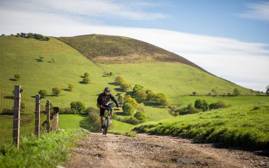
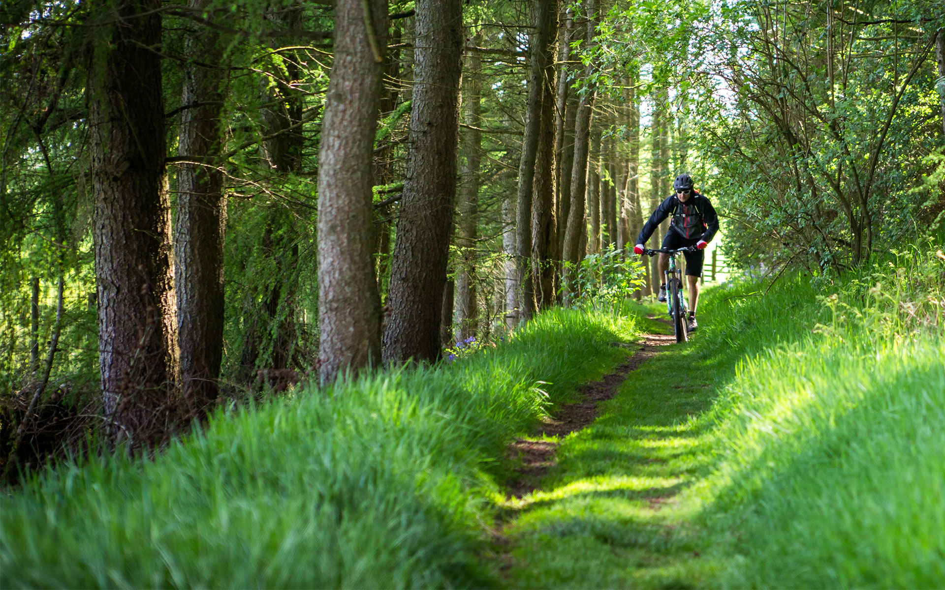
This superb intermediate ride takes you to the highest permissive point for mountain bikes on the Range at approx. 450m. Needless to say the views are breathtaking, so too are some of the climbs. From the peaceful trails of Clwyd forest to fantastic grassy descents within the Moel Famau country park this route really is not to be missed. Truly a route with a bit of everything.
On The Map
Area: North Wales
Visit Wales Grading: 5*****
Grade: Moderate
Height Climbed (metres): 545
Route Type: Mountain Bike Trail
Ride Time (hours): 4
Distance: 30+km
OS Map Required: OS Explorer 265
Trail Facilities: Local